
Reports & assessments
Two decades of work on the ground.
Final report · June 2025
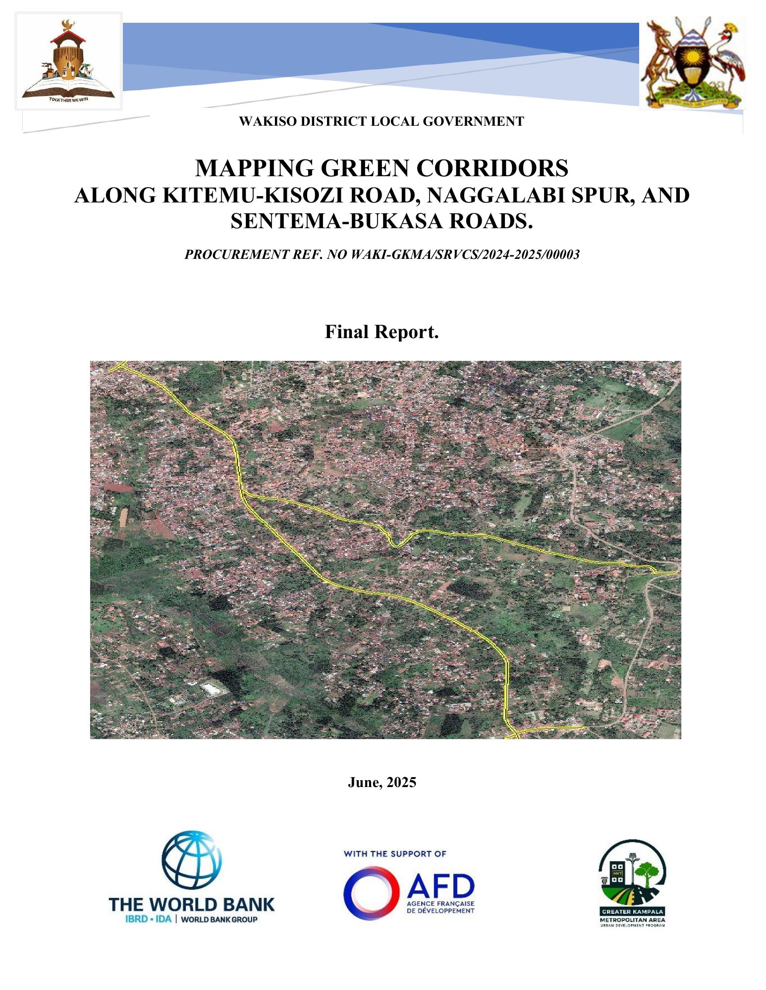
Mapping Green Corridors
Kitemu–Kisozi Road, Naggalabi Spur and Sentema–Bukasa Roads.
Prepared for Wakiso District Local Government, this report maps road reserves and building lines and proposes integrated drainage, pedestrian walkways and green spaces along the corridors.
Final report · June 2025
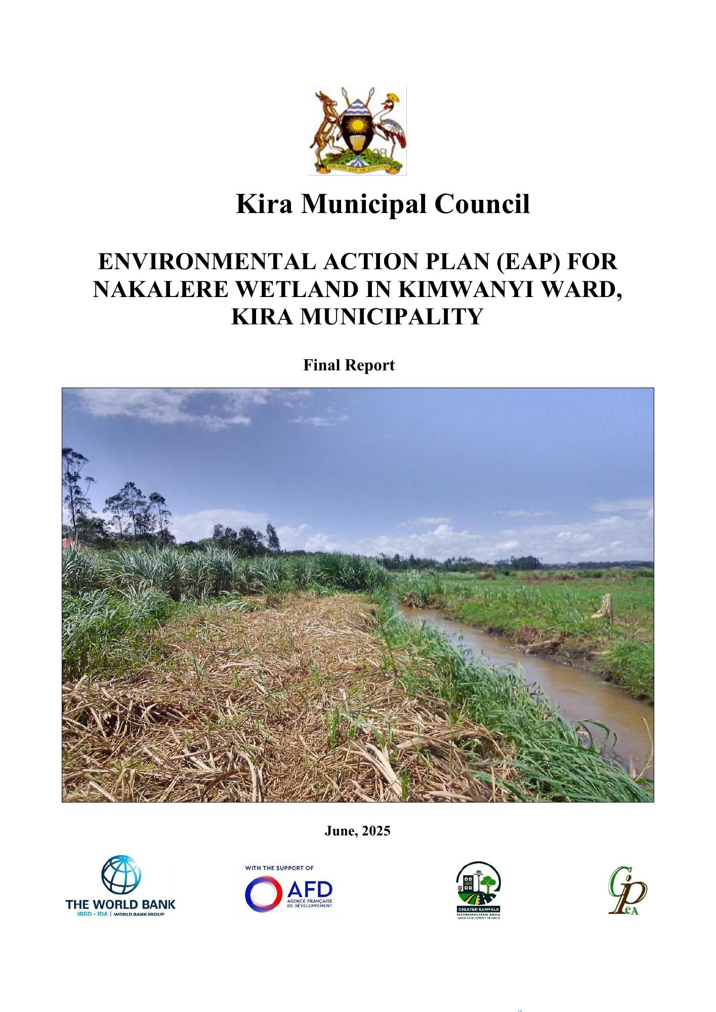
Nakalere Wetland Environmental Action Plan
Kimwanyi Ward · Kira Municipality
Prepared for Kira Municipal Council, this report assesses the wetland and riverbanks and sets out ecological restoration, pollution control, sustainable livelihoods and conservation actions, with an implementation plan for 2025–2030.
2019
Assessment of Urban Councils
Land use Compliance Report for Uganda's 82 Urban Councils.
2016
GIS Training
Established a standalone GIS Unit and trained technical officers in GIS Applications at Wakiso district.
2008
CIDI Project
Mapped sanitation facilities in Mulago III, Kyebando and Bwaise II for CIDI.
2007
Geospatial Analysis
Geospatial analysis of Northern Uganda social services delivery systems.
2007
ECOSAN Project
Mapping of all ECOSAN toilets in Kampala for the ECOSAN Project.
2005
Urbanisation
Urban Study of Mubende Town Council.
2005
GIS Training
Training in GIS for Local Government Planners under the Rockefeller project for integrating GIS and LOGICS.
2003
Urban Management and Planning
Guided Kira Local Council III on Urban Management and Planning procedures for the eventual transformation of the sub-county to a Town Council.
2003
Transformation to Town Councils
Guided and sensitized Makindye and Nsangi councillors on procedure for transformation to Town Councils.
Start a conversation